Vancouver, BC – Engineer Gold Mines Ltd. (the “Company”) (TSXV: EAU) announces a LiDAR survey has been completed at the Engineer Gold Project by Eagle Mapping Ltd covering an area of 15,874ha (159 sq km). The survey was flown by fixed wing aircraft over the Wann River, Engineer Mine and Mill Site, Happy Sullivan, Golden Bee, Golden Mountain and the TAG target areas and includes the acquisition of orthoimagery or georectified aerial photography of the property.
Company president Andrew H. Rees commented “The acquisition of data provided by the LiDAR survey will identify fault zones and structural trends which may host lateral extensions of known mineralized bodies. It will also identify bedrock exposures otherwise obscured by vegetation, the location and volume of historical disturbances, water sources as well as but not limited to accurate elevations which can be used to accurately spatially reference historical exploration and mining data for 3D modeling”.
Jean Pautler, P.Geo., the qualified person on the Engineer Gold Project with respect to NI 43-101 states “the LiDAR survey is an exciting addition to the 2020 exploration program and will substantially aid in the tracing of productive structures, in the identification of new untested structures, and in the delineation of structural intersections. Structure is key to new discovery.”
LiDAR is an acronym for Light Detection and Ranging or Light Radar which is a remote sensing method that uses a swath of pulsing lasers of light at certain frequencies to measure distances to the surface of the earth. The laser pulses reflect off various surfaces and those reflections are recorded by a sensor and a differential GPS on board the aircraft. The point density is usually quite high and results in very accurate positioning and elevations.
About Engineer Gold Mines Ltd.
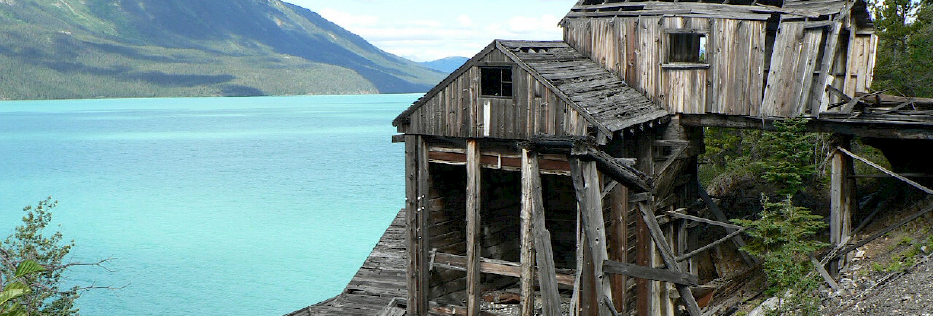
Engineer Gold is focused on the exploration and development of the 100%-owned Engineer Gold Mine Property, centered on the Historic high-grade Engineer Gold Mine situated 32 km southwest of Atlin, B.C. Previous work has identified numerous high-grade vein and shear-hosted bulk-tonnage gold exploration targets including Wann River to the southwest, TAG and Happy Sullivan to the northeast of the Engineer Gold Mine.
For additional information please visit the company website at www.engineergoldmines.com
| On Behalf of the Board of Directors | Contact Information |
| Engineer Gold Mines Ltd. | Corporate Inquiries: |
| "Andrew H. Rees" | Andrew H. Rees: 604-505-3739 |
| Mr. Andrew H. Rees | Email: andrewhr@engineergoldmines.com |
| President |
Cautionary Note Regarding Forward-Looking Statements
Neither TSX Venture Exchange nor its Regulation Services Provider (as that term is defined in the policies of the TSX Venture Exchange) accepts responsibility for the adequacy or accuracy of this release.
This news release contains certain forward looking statements which involve known and unknown risks, delays, and uncertainties not under the control of Engineer Gold Mines Ltd. which may cause actual results, performance or achievements of Engineer Gold Mines Ltd. to be materially different from the results, performance or expectation implied by these forward looking statements. By their nature, forward looking statements involve risk and uncertainties because they relate to events and depend on factors that will or may occur in the future. Actual results may vary depending upon exploration activities, industry production, commodity demand and pricing, currency exchange rates, and, but not limited to, general economic factors. Neither the TSX Venture Exchange nor its Regulation Services Provider (as that term is defined in the policies of the TSX Venture Exchange) accepts responsibility for the adequacy or accuracy of this release.